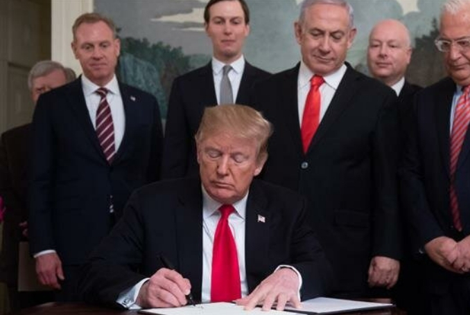
The US has issued a new map showing the occupied Syrian Golan Heights as Israeli territory, just three weeks after US President Donald Trump announced he would recognize the region as belonging to Israel.
The US’ Special Representative for International Negotiations, Jason Greenblatt, yesterday tweeted a picture of the new map with the words “welcome to the newest addition of our international maps system after [President Trump] issued a proclamation recognizing Israeli sovereignty over the Golan Heights”.
Welcome to the newest addition of our international maps system after @POTUS issued a proclamation recognizing Israeli sovereignty over the Golan Heights pic.twitter.com/1D0GTdwtix
— Jason D. Greenblatt (@jdgreenblatt45) April 16, 2019
The map shows the 1974 ceasefire line between Israel and Syria – which was imposed after Israel captured the Syrian Golan Heights in the Six Day War of 1967 and reaffirmed after the 1973 October War – as a permanent border, using a solid line as opposed to the dashes usually used to demarcate such armistice lines. In contrast, the other armistice lines separating Israel from Lebanon, the occupied West Bank and besieged Gaza Strip are still shown with dashed lines.
US updates its maps to include Golan Heights as part of Israel https://t.co/Tqxvx8GnMg pic.twitter.com/4eNAGBIerx
— RT (@RT_com) April 17, 2019
The move represents further entrenchment of Trump’s decision in March to recognize the Golan Heights as Israeli.
(MEMO, PC, Social Media)


